Log in
All resources
Create a design
256 Free Images of Old Maps Of France
history
historical
cc-zero
pages with maps
cc-pd-mark
photographs by henk van gaal
media with estimated locations
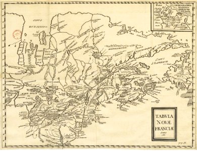
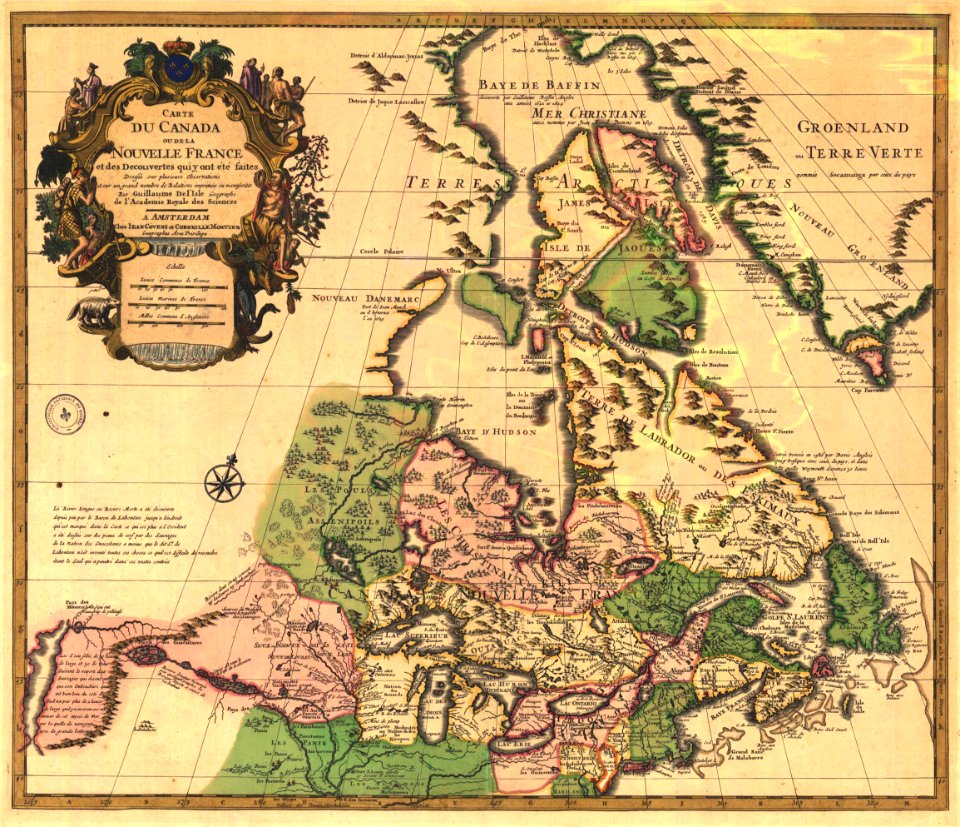
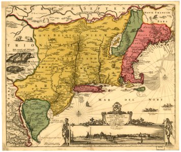
old maps of new france
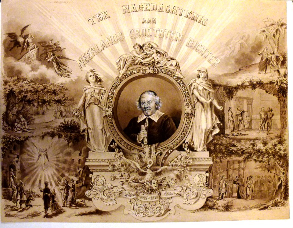
illustration
book
maps made in the 17th century
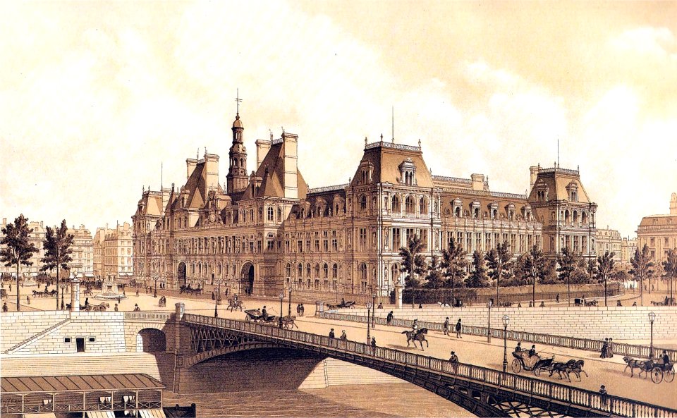
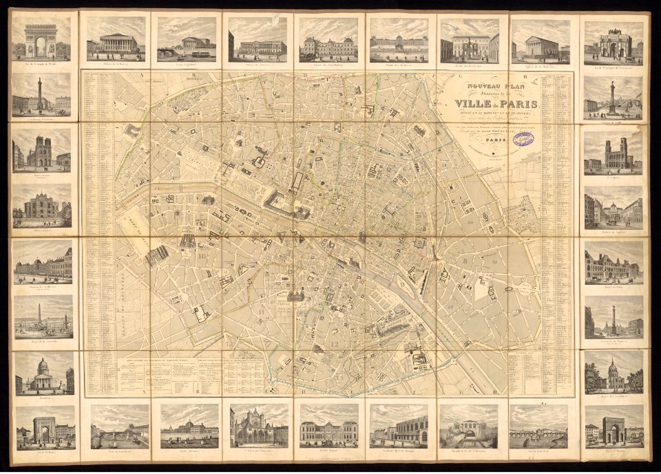
2017 photographs of paris
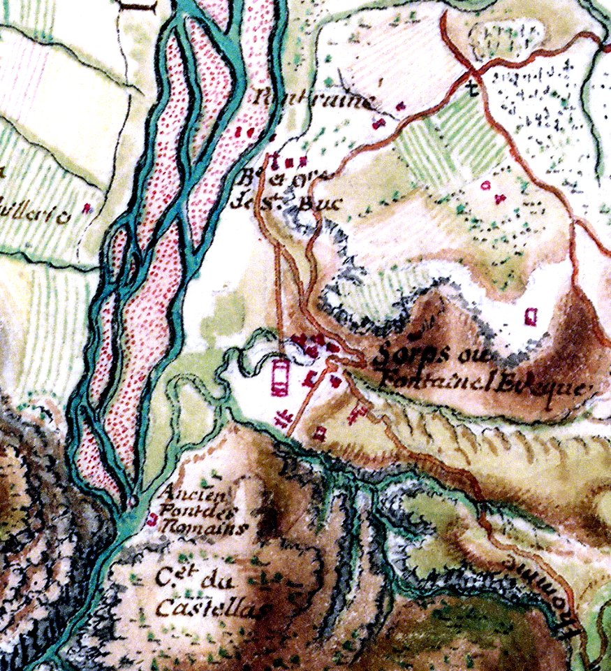
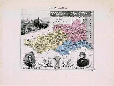
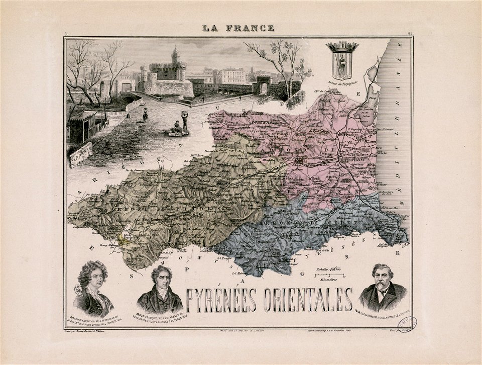
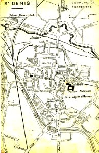
fonds ancely - bibliothèque municipale de toulouse - maps
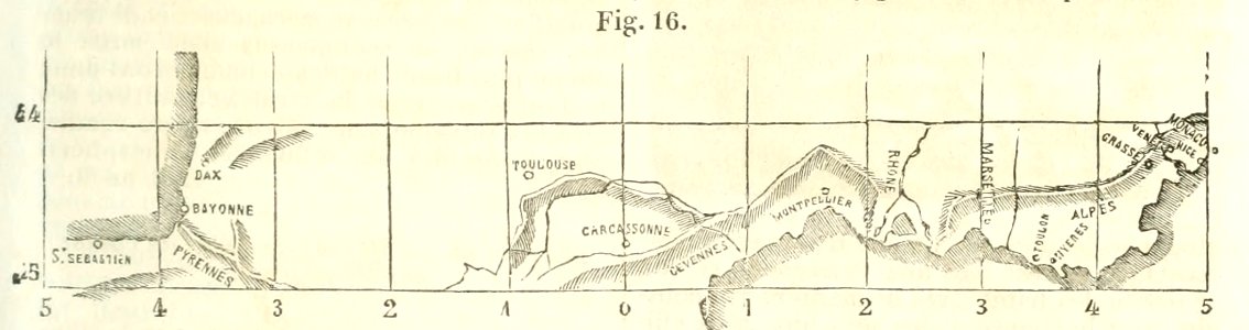
françois arago
verdon river
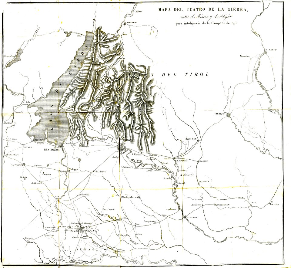
old map
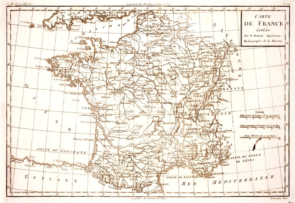
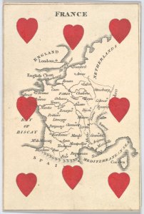
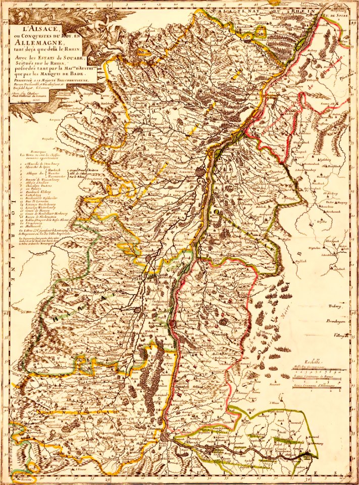
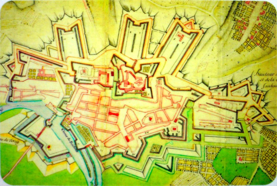
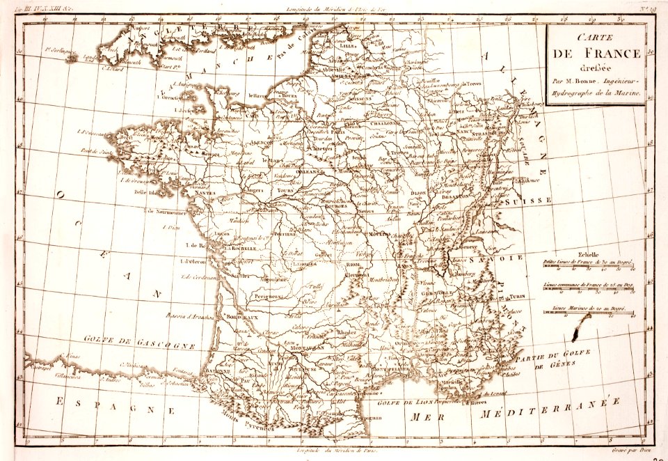
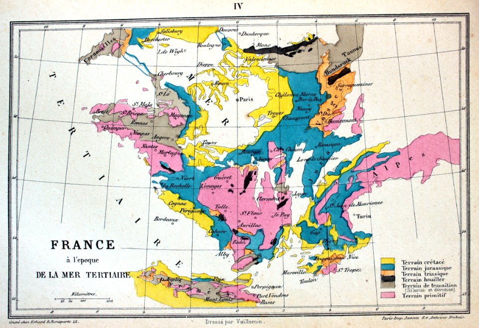
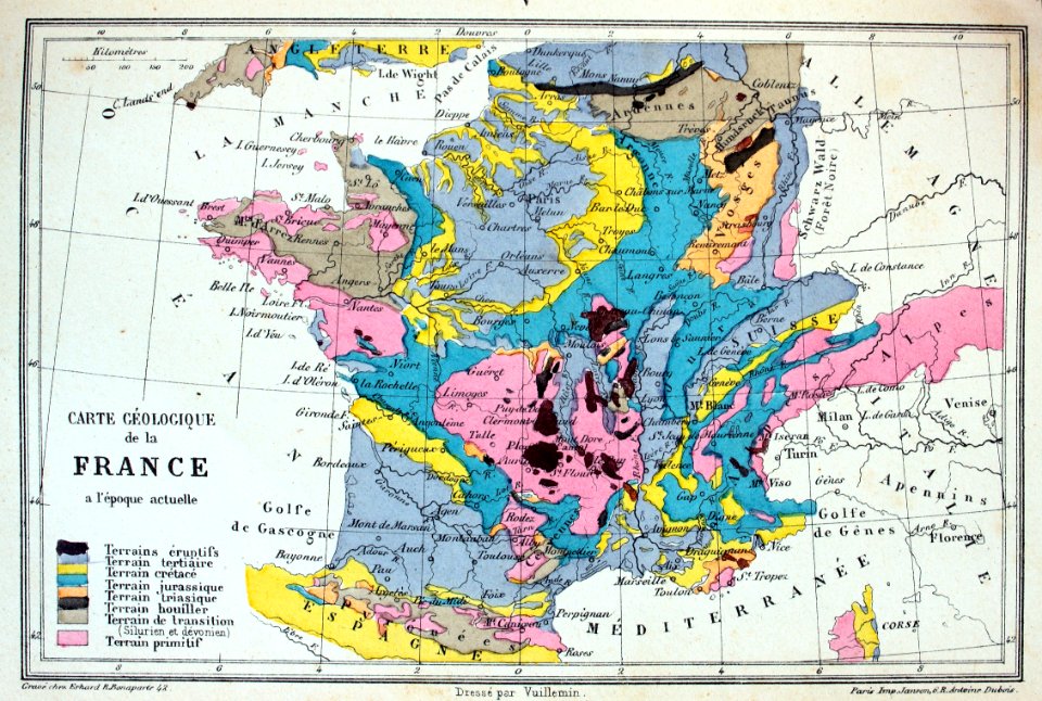
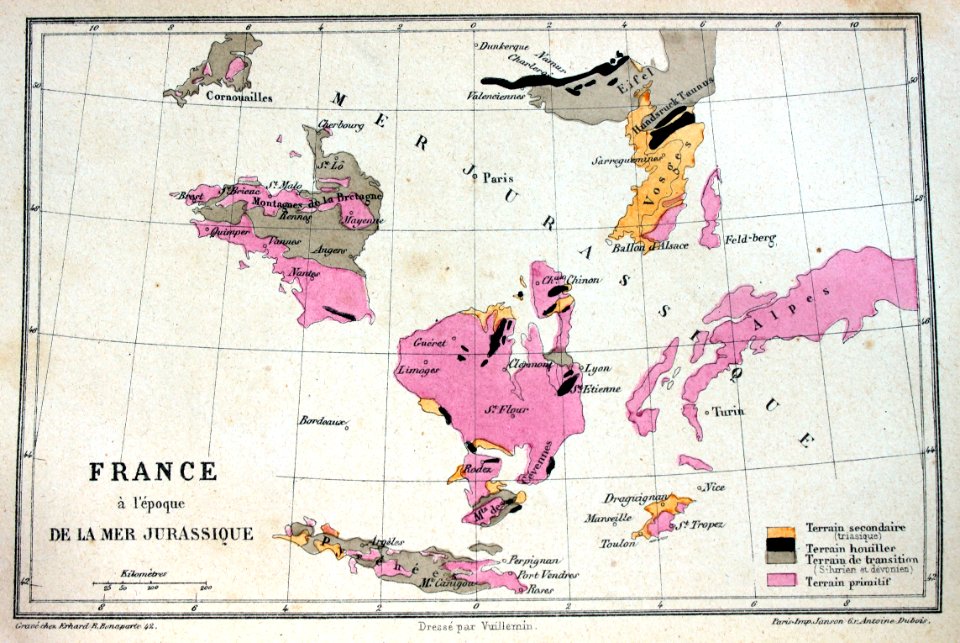
old maps of france
1844
prints from bonne atlas de toutes les parties at the peace palace library
dien (printer)
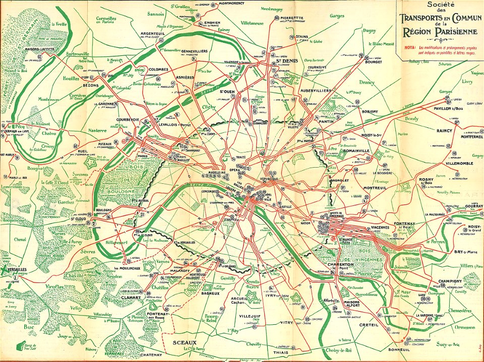
société des transports en commun de la région parisienne
old maps of public transport in paris
hyacinthe rigaud
françois arago
artworks without wikidata item
8 of hearts
alexandre-joseph oliva
hyacinthe rigaud
white bicycle
vehicle
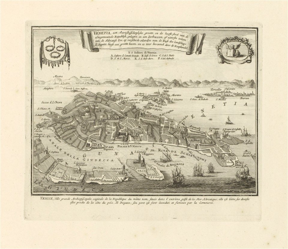
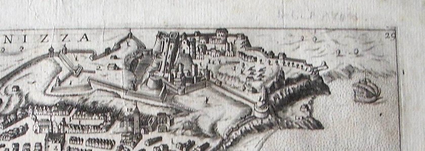
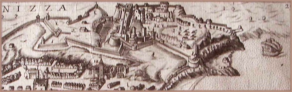
old maps of venice
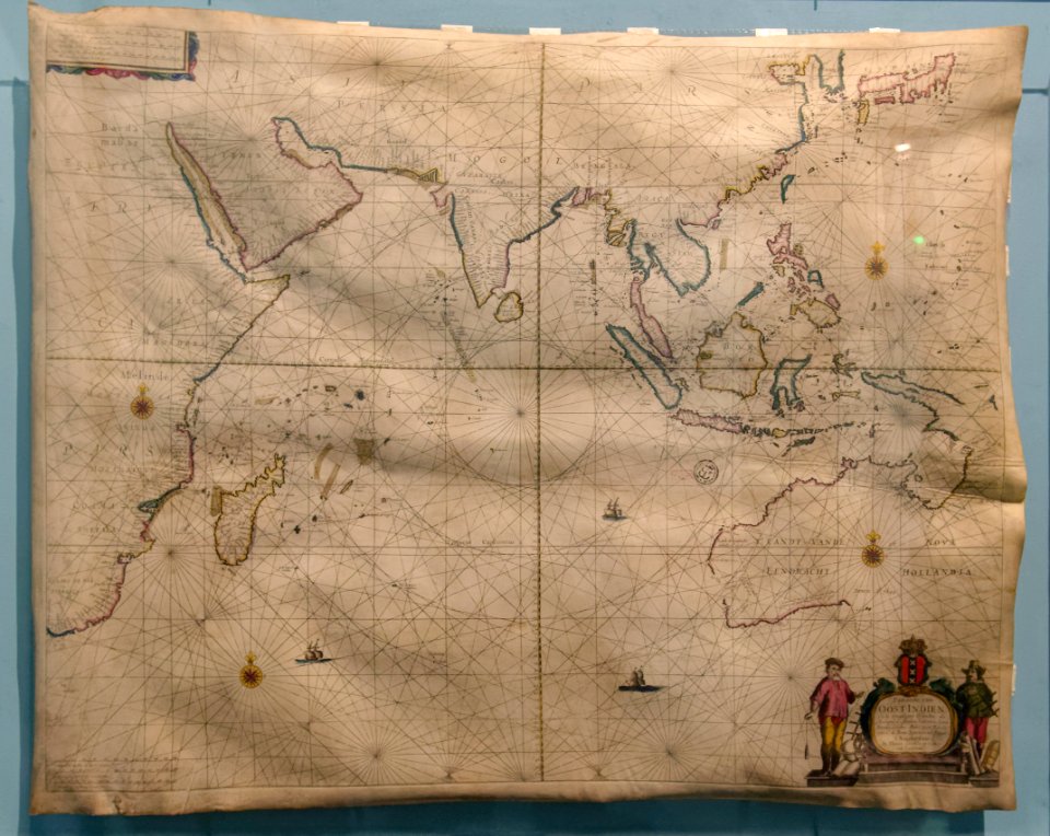
carolus allard
1726
asie
self-published work
vehicle
self-published work
pages with maps
self-published work
pages with maps
maps made in the 17th century
2017 photographs of paris
naval battles involving france
1711
pavement
facade
self-published work
city
self-published work
indoor
anthonis van den wijngaerde
castell de montjuïc
architecture
city
self-published work
cc-pd-mark
travel
city
symbol
maps
self-published work
card
collections of the bibliothèques-médiathèques de metz
old maps of lorraine
historical
history
historical
history
historical
history
historical
history
historical
history
historical
history
historical
history
historical
history
historical
history
historical
history
historical
history
historical
history
historical
history
historical
history
historical
history
historical
history
historical
history
historical
history
historical
history
historical
history
historical
history
historical
history
historical
history
historical
history
illustration
maps
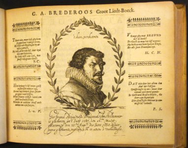
illustration
book
illustration
book
illustration
book
illustration
book
201 - 256 of 256
/ 3